
The United Nations UN General Assembly has adopted a resolution supporting the transition from the traditional Mercator projection to the Equal Earth map, a move aimed at correcting longstanding distortions in how Africa and other regions are represented.
The resolution received support from 164 countries during a session at the UN headquarters in New York. The United States voted against it, while six countries abstained.
The resolution promotes the use of the 2018 Equal Earth projection, which more accurately represents the relative size of continents than the Mercator projection developed in the 16th century.
The Mercator map was created by Flemish cartographer Gerardus Mercator in 1569 primarily to assist sailors with navigation. Although it remains widely used in schools, technology, mapping systems and governance, its design significantly distorts the size of areas located farther from the equator.
Under the Mercator projection, countries and territories in northern regions appear considerably larger than they actually are, while areas closer to the equator appear smaller.
READ ALSO: First Lady Pushes NIN Registration for Better Planning
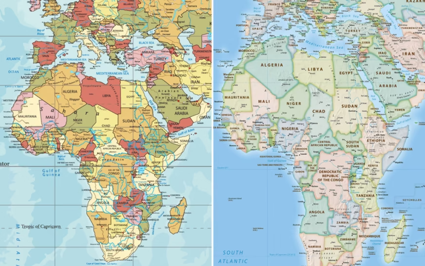
Africa is one of the most affected continents. The traditional map can make Africa appear roughly comparable in size to Greenland, despite Africa being about 14 times larger than the Danish territory.
Togo, which led the campaign for the resolution on behalf of the African Union, said distorted maps have influenced how people perceive Africa and other parts of the world.
The country argued that disproportionate cartographic representations have had lasting educational, cultural, geopolitical and socioeconomic consequences.
Togo’s Foreign Affairs Minister Robert Dussey said the debate was fundamentally scientific rather than political, arguing that evidence of the distortions should lead countries to acknowledge the geographical reality.
The UN resolution is not legally binding, meaning countries, schools, technology companies and other institutions will not be compelled to abandon the Mercator projection.
However, supporters expect the decision to encourage changes in educational curricula and mapping practices and potentially influence how digital platforms and other institutions represent the world.
The Equal Earth projection, introduced in 2018, was specifically designed to preserve the relative area of regions more accurately while maintaining a visually balanced representation of the globe.
The UN-backed initiative therefore marks a symbolic shift in global cartography, challenging a map that has shaped generations of people’s understanding of the world’s geography.
While the Mercator projection will remain available for navigation and other purposes where its properties are useful, the resolution encourages greater awareness of the distortions created when it is used to compare the actual size of countries and continents.